


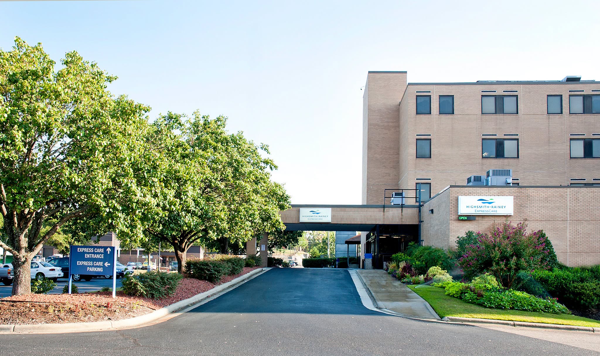
Fayetteville State University joined two North Carolina HBCU’s in the $1.5 million NASA-funded DEAP Institute: Harnessing Data for Flood Monitoring and Management project applying geospatial science and technology to help mitigate flood impact in the state.
Through NASA’s Minority University Research & Education Project, North Carolina A&T State University is conducting a project with Elizabeth City State University and FSU to analyze open-source remote sensing and geospatial data to better prepare North Carolina citizens for flood events. The project began in May 2023 and is scheduled to finish in April 2026.
Leading the FSU research team, Trung Tran, Ph.D, associate professor of geospatial science, is working with Chekad Sarami, Ph.D., professor of computer science, and students to leverage data science in the NASA’s Earth Science program using their remote sensing.
FSU will also establish the Geospatial Analytics & Observing Earth for Sustainability or GLOBES research laboratory and Geospatial Science concentration of Geospatial Data Science in Natural Hazard Monitoring and Management with scholarships for students to help foster geospatial education and research of natural hazards in the region.


A family affair: Along with a full staff, Owner Eddie Claude and his wife Ruth (pictured right) work with their kids to run the restaurant. Eddie is a Veteran who served for 21 years in the U.S. Army. Photos by YGH STUDIOS & GFBJ. The Fayett
With summer in full swing, I started to reflect on the various ways I spent my summer break over the years. From pool parties with friends to family vacations and sports tournaments, I look back fondly on the summers I’ve enjoyed so far. But it
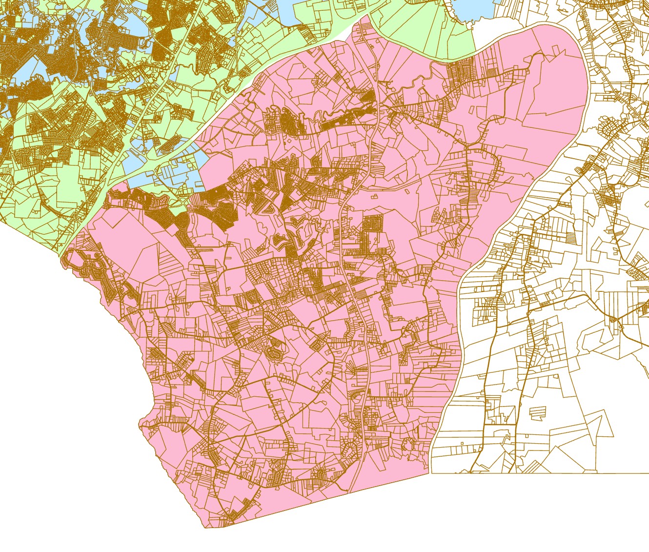
Proposed incorporation boundary (pink) · Gray’s Creek, Cumberland County, N.C. This is a working draft and is subject to revision. Image courtesy of grayscreeknc.com. After decades as an unincorporated rural community in Cumberland County, Gray’